Ideas to get things off the ground
Precision drone solutions for construction, areial mapping, real estate, and beyond — Turning vision into visibility… one flight at a time.
Elevate Your Project with Precision Drone Data & Areial Insight
Specializing in Construction, Mapping, Real Estate and more!
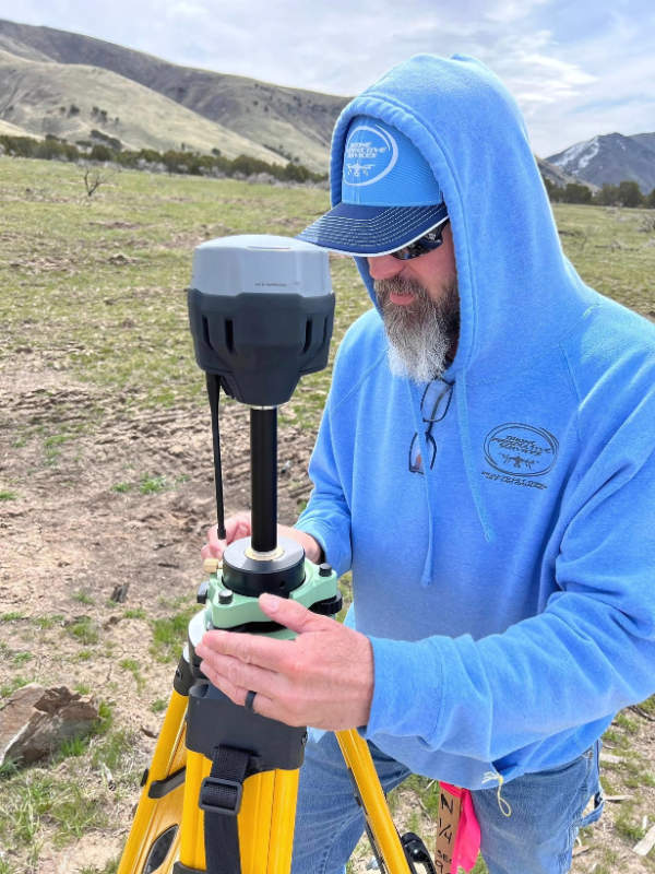
At Drone Perspective Services LLC, we help construction professionals, developers, and creatives streamline projects and tell powerful visual stories through advanced drone technology.
From aerial mapping and volumetric analysis to cinematic drone tours and government-ready documentation, we deliver the data and visuals that drive results.
Ready to Gain A New Perspective?


